

Start a Business
Starting or moving your business in Freeport City is easy and profitable. Learn all about making the move the right way.

Online Resources
Get access to online forms, department sites, and other resources to help you make the most of your experience on Grand Bahama Island.
Schedule an Appointment
If you are an investor or developer based in Nassau and interested in operating in Freeport, you can click here to schedule an appointment with our Business Development Team.

Help & Support
When it’s time to receive assistance, you can rest assured knowing that GBPA is here to help.
Investment Map
Interested in the investment activity in Freeport, Grand Bahama? Click here to use the Invest Grand Bahama Interactive Investment Map to find out the latest updates on investments and projects in the city.
Revitalization and Expansion of the Economy of Freeport
The REEF Committee is a collaboration between the GBPA, Freeport’s major businesses, and now also anyone who has an interest in Freeport’s success.
Applying for a Scholarship
Students interested in receiving financial aid for college education can review our Scholarship Application Guidelines for the 2023-2024 Academic Year.

Grand Bahama is a premium destination for investors, and the data fully supports our business case. We are a leader in the region on par with key global competitors.

Our vision is clear.
Press & Media
Take a look at the latest news, media, and articles from the GBPA.
Freeport Business Expo to Connect Grand Bahama Businesses and Entrepreneurs to Expert Resources
In line with its mission to create a stronger, more connected Freeport economy, the Grand Bahama Port Authority, Limited (GBPA) is pleased to share details of the upcoming Freeport Business Expo: Tourism Edition, taking place on...
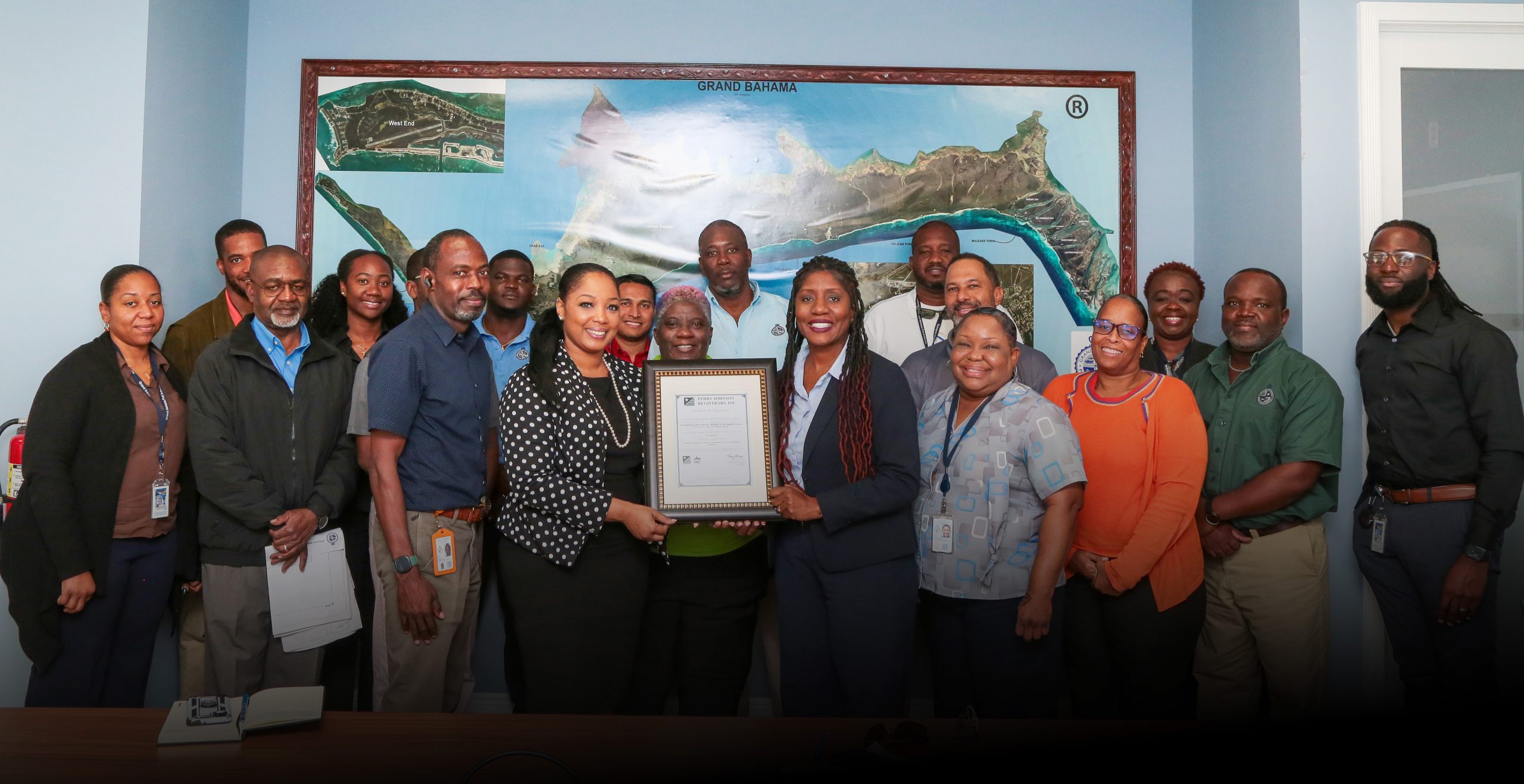
GBPA’s Building & Development Department Secures Coveted ISO 9001 Certification
March 4, 2024 – Freeport, The Bahamas: The Grand Bahama Port Authority Limited (GBPA) is pleased to announce that its Building & Development Services (BDS) Department has obtained International Organization for...
GBDRF Wraps Up Hurricane Dorian Home Repair Program
February 6, 2024 – Freeport, Grand Bahama, Bahamas – In a remarkable feat of resilience and compassion, the Grand Bahama Disaster Relief Foundation (GBDRF) proudly announces the completion of it’s initiative to reconstruct homes...